
Description
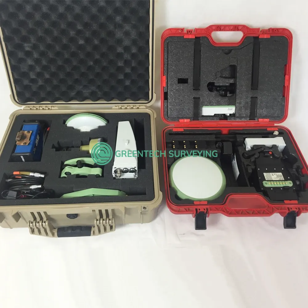
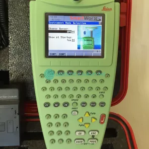
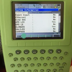
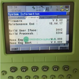
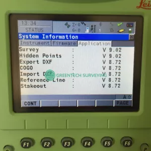
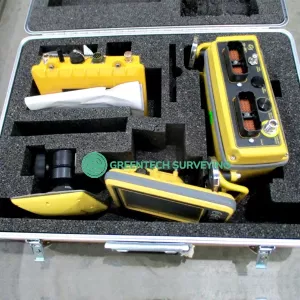
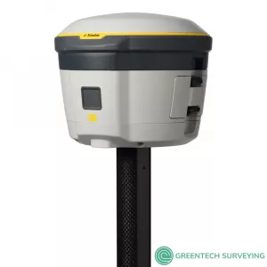
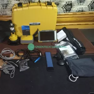
Selling Leica 1200GG series complete GLONASS enabled Leica RTK GPS/GNSS System 1200 base and rover kit. Leica GX1230 GG GPS/GLONASS L1/L2 Receiver, GLONASS full time license. AX1202GG GPS/GLONASS L1/L2 Antenna with Cable. Leica RX1250XC Color Data Collector, GLONASS full time and Reference Line licenses. Latest firmware v9.02. This is used in excellent working condition.
Package includes:
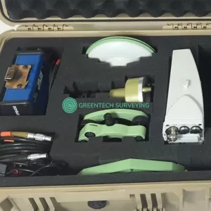
- Base:
- 1x GX1230GG Receiver
- 1x AX1202GG Antenna
- 1x Leica Tribrach
- 1x Optical Plummet
- 1x Antenna Carrier1x Leica Quick Release Tip
- 1x 5/8″ Threaded Adapter
- 1x Pacific Crest PDL Radio 35w, 450-470MHz, 1/4 Wave Antenna with Power/Data Cable
- 1x 32MB Industrial CF Memory Card
- 1x Power Cable
- 1x GZS4-1 Height Hook
- 1x Pelican Hard Case
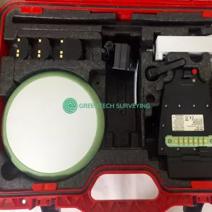
- Rover:
- 1x RX1250XC Color Data Collector
- 1x ATX1230 GG GNSS Antenna
- 1x GHT56 GFU Cradle
- 1x Rod Clamp
- 1x GFU15-2 PDL Radio, 450-470MHz
- 1x Antenna
- 2x Aftermarket Charger
- 1x GEB221 Battery
- 3x GEB211 Battery
- 1x 256MB CF Memory Card
- 1x USB CF Multi Card Reader
- 1x Leica Hard Case
- 30-day money back guarantee